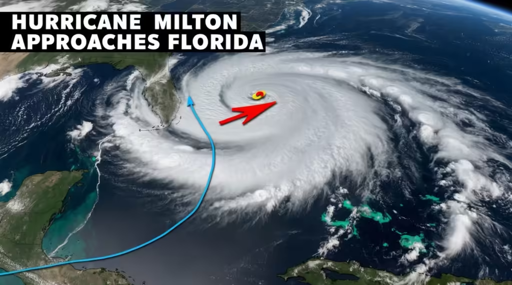
Meteorologist Haley Meyer here with an important Fox Weather Alert. Hurricane Milton has strengthened to a Category 1 storm in the Gulf of Mexico and is projected to become a major hurricane. With landfall expected on Wednesday, potentially in the afternoon or evening, it’s crucial for residents along the west coast of Florida to stay informed and prepared.
Current Forecast: Potential Major Impact
Governor Ron DeSantis is urging Floridians to take this storm seriously, especially as the state is still recovering from the aftermath of Hurricane Helen. Milton could bring even more severe impacts to some areas.
- Current Status: As of the 11:00 advisory, Milton has winds of 80 mph, a sharp increase from the earlier 65 mph when it was still a tropical storm. Rapid intensification is likely, with the potential to strengthen to a Category 3 or even Category 4 hurricane.
- Forecasted Landfall: Along Florida’s west coast, with possible life-threatening storm surges, widespread power outages, and hurricane-force winds affecting a significant portion of the state.
Governor’s Warning: Stay Prepared
Governor DeSantis emphasizes the need for all Floridians, especially those on the west coast, to monitor the situation closely. “Do not get wedded to the cone,” he advises, as areas outside the predicted path could still experience major impacts.
Rallying Support: Trump and Eric Hovde Join Forces for a Stronger America
Visual Update: Track and Intensification
The latest satellite imagery shows that Milton has developed an outer eyewall quickly, indicating a very consolidated storm system. It’s likely to reach Category 3 status by midweek. Here’s what we know so far:
- Intensity Forecast: Rapid strengthening is expected over the next few days.
- Potential Impacts: Prepare for significant storm surge, heavy rainfall, and strong winds along the west coast of Florida.
Heavy Rain and Flooding Concerns
Florida residents should brace for heavy rain in the days leading up to Milton’s landfall. Some areas could see 5 to 8 inches of rain even before the hurricane arrives, exacerbating the flooding risk.
Storm Surge and Rainfall Patterns
The southern half of the storm is expected to produce the highest surge levels, while the northern half may bring heavy rain and potential flash flooding. The Tampa Bay area could be at significant risk, depending on the exact track of the storm.
- Potential Surge: 7 to 12 feet of surge in areas like Tampa Bay and Fort Myers, especially where the geography funnels water into smaller bays and inlets.
Forecast Uncertainty and Final Hours
The National Hurricane Center has highlighted some uncertainty in the forecast, with a potential 100-mile variance in Milton’s track three days out. This could mean a big difference for Tampa Bay—whether it experiences the brunt of the storm or sees less severe impacts.
- Current Model Consensus: The latest models show a slight southward shift, suggesting Tampa may not face the worst-case scenario, but residents should remain vigilant.
Key Takeaways
- Prepare for possible Category 4 strength at landfall.
- Follow evacuation orders if issued, and stay tuned to Fox Weather for updates.
- Massive impacts are possible, even for areas still recovering from Hurricane Helen.
With storm surge and rainfall expected to intensify, it’s critical to stay informed. Tune in for continuous updates as we track Hurricane Milton’s path and potential impacts.

